HiPS maps
All-sky maps in Hierarchical Progressive Survey (
HiPS)
format for viewing with
Aladin
or other software supporting HiPS (astrogeek stuff: The maps are based on a
HEALPIX grid with NSIDE=8192).

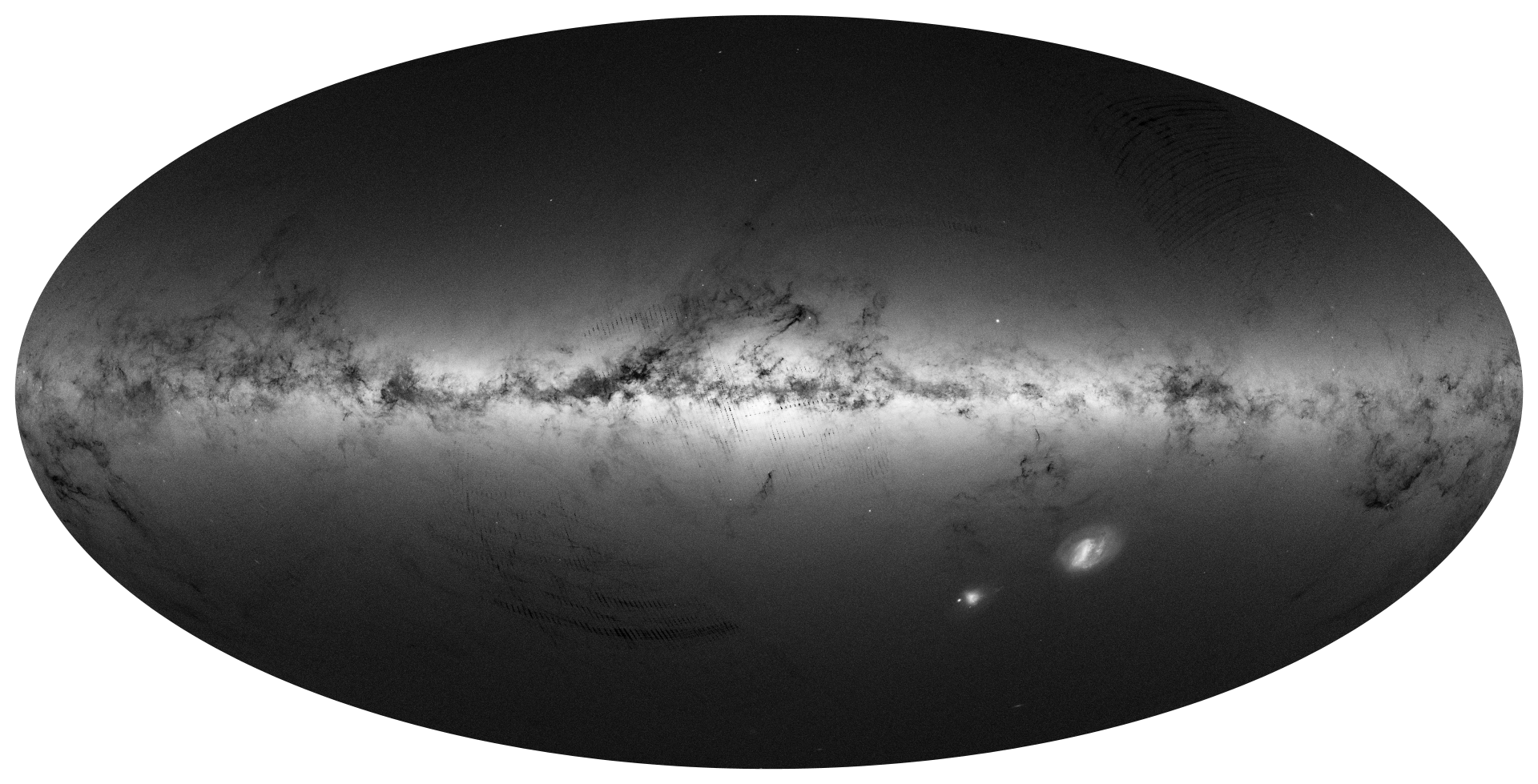
All-sky density map of the DR1 sources

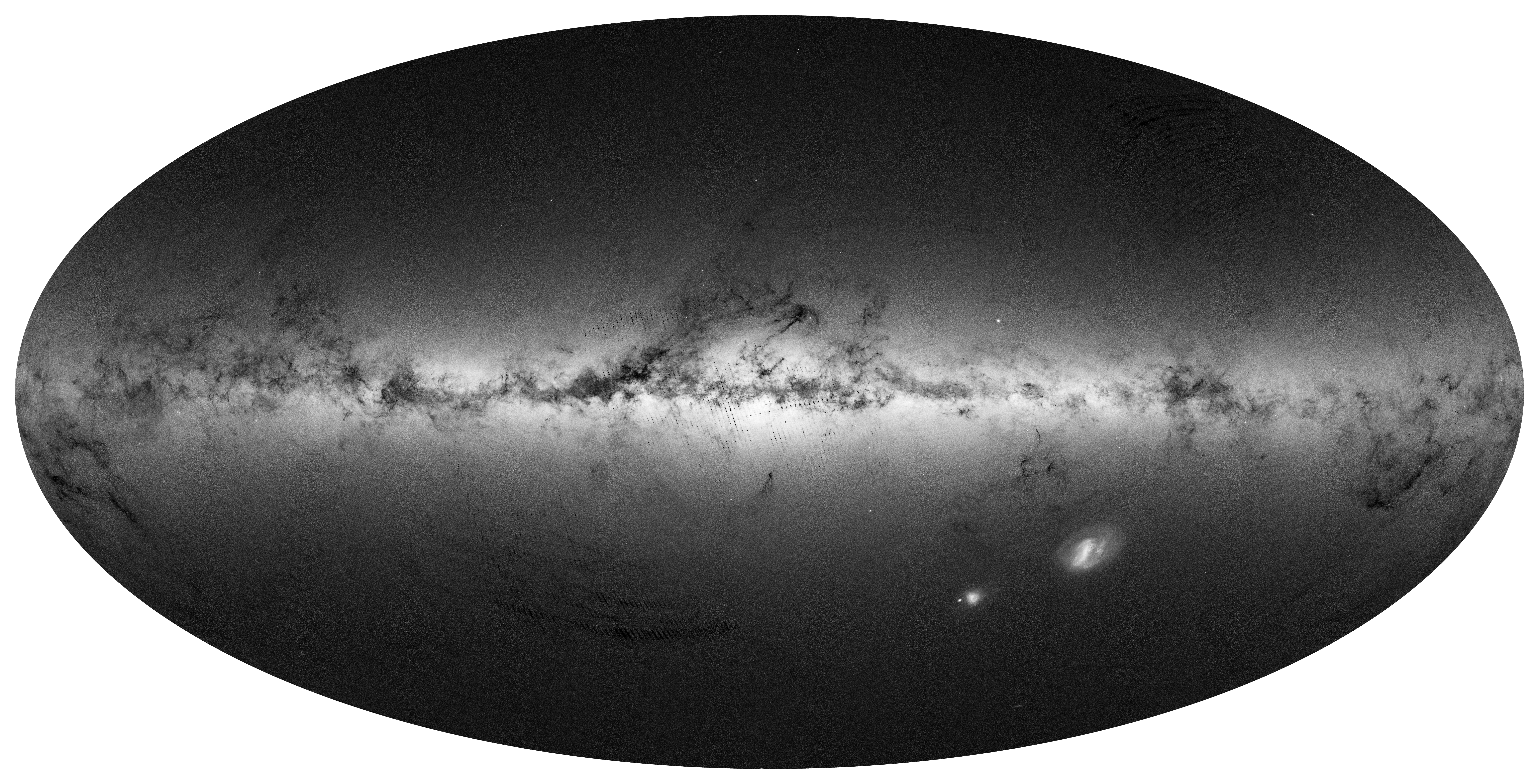
All-sky integrated brightness map of DR1 sources
FITS
FITS images of some regions are provided. Contours or other overlays and
manipulations for analysis or presentation purposes can be done with DS9,
iraf, python and other software.

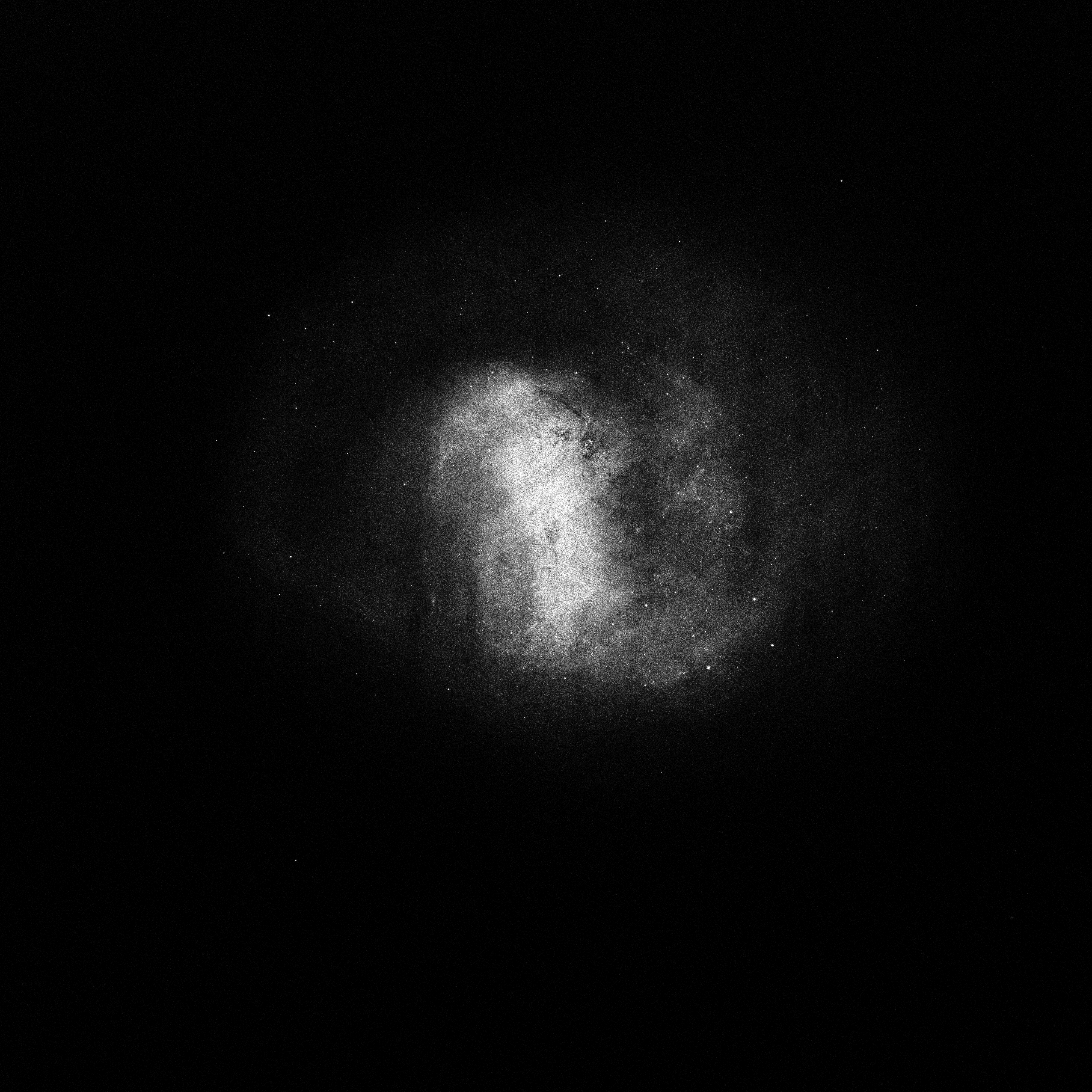
Large Magellanic Cloud DR1 source density

Large Magellanic Cloud integrated brightness of DR1 sources
LARGE FORMAT IMAGES FOR DOME PROJECTION
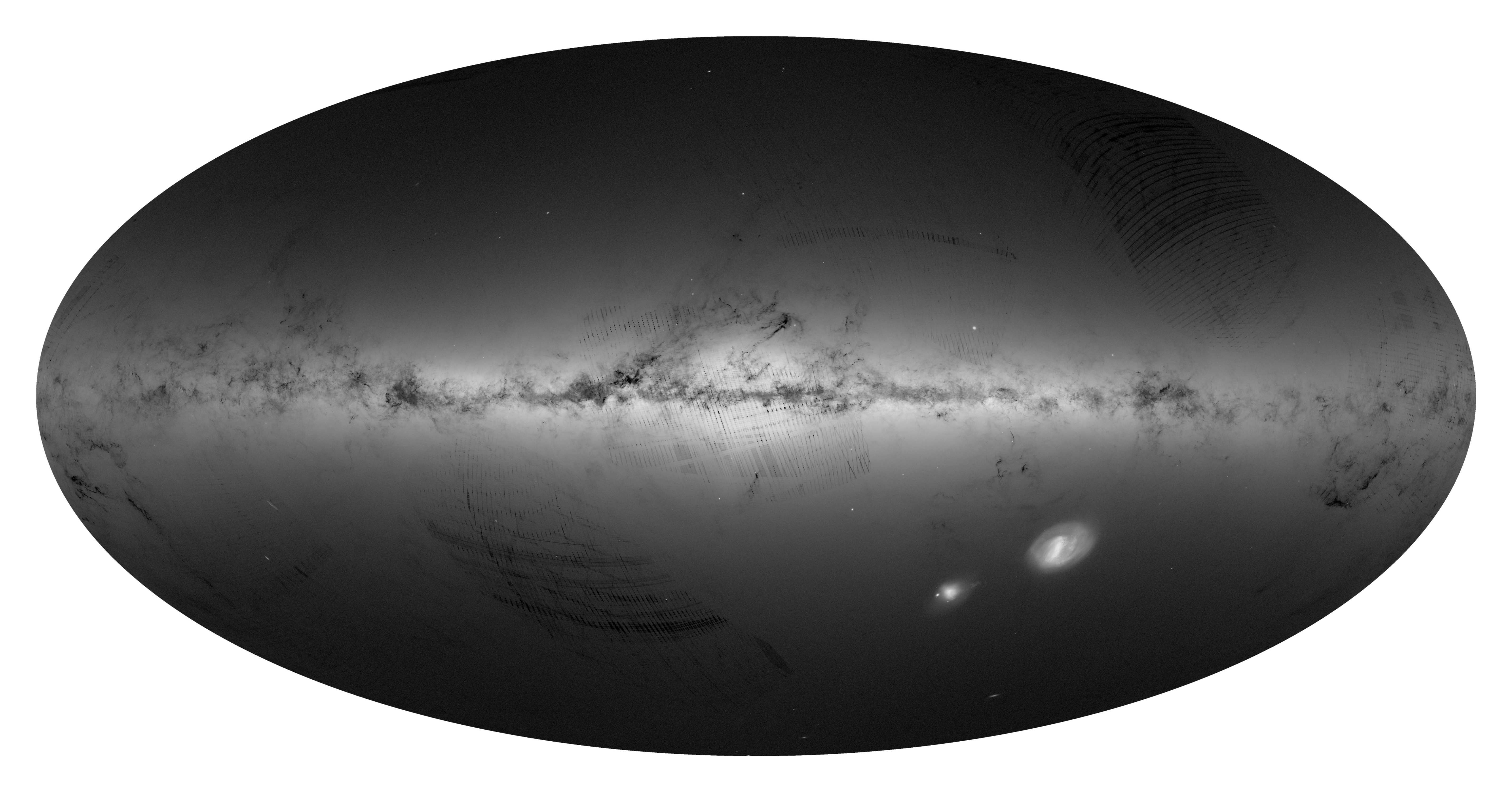
These are large 16384x8192 pixel all sky panoramas in a cartesian plane
projecton, adequate for use in modern digital planetaria.

All-sky density map of the DR1 sources

All-sky integrated brightness map of DR1 sources.
ABOUT
CREDITS: If you have used the content made available in this page, please credit ESA/Gaia/DPAC: Moitinho et al. 2017, A&A, 605, A52, "Gaia Data Release 1: The archive visualisation service" (DOI:
https://doi.org/10.1051/0004-6361/201731059).
REQUESTS: We can create high quality images of other
fields, with other resolutions or filtering based on DR1 contents (e.g.
magnitude cuts). Our ability to respond is limited and will depend on the
quantity of requests.
CONTACT: Suggestions, bug reports and other feedback
can be sent to gaia-helpdesk@cosmos.esa.int
Updated: December 28, 2017


